
Mental X
A multifunctional AI-driven platform providing accessible, organized tools for mental and psychological health support.
Health-Tech
AI
Startup
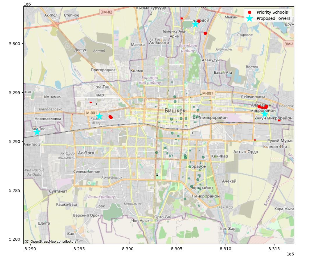
Welcome to the Bishkek School Resilience Map — an interactive geospatial tool built to empower urban planners and community leaders with data-driven insights into school infrastructure safety and accessibility.
🚀 View the Live App on Hugging Face Spaces:
https://huggingface.co/spaces/aiibls/bishkek-resilience-ai
In rapidly developing urban centers, ensuring school infrastructure is resilient to environmental and social challenges is critical. This project serves as a “Social Good” initiative, using open-source data and AI to map vulnerabilities and strengths within the Bishkek educational landscape.
🗺️ Interactive Geospatial Map
Visualize school locations with dynamic layers for resilience scoring and infrastructure data.
📊 Resilience Analytics
Assess schools based on key metrics including physical safety, accessibility, and resource distribution.
🤖 AI-Driven Visualization
Leverages a Streamlit-based interface for intuitive exploration of complex geospatial datasets.
📥 Exportable Data Summaries
Allows stakeholders to export localized resilience reports for targeted policy interventions.
Want to see how it works under the hood? It’s built for transparency and scalability! 😄
Make sure you have Python 3.9+ and run: ```bash git clone https://github.com/aibls/bishkek-school-resilience.git cd bishkek-school-resilience pip install -r requirements.txt streamlit run app.py